So I decided to stop in Lebanon, MO because it was the last city I had gotten to in my drive of Route 66. I had a day to see if I could make it further down the Mother Road.
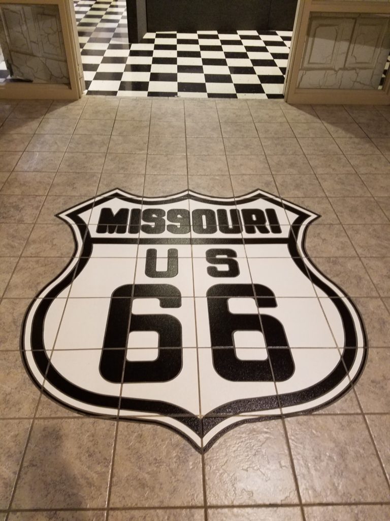
I initially went to the Route 66 museum in Lebanon which is in the local library. There really isn’t a whole lot to see here but the most fascinating thing is a series of old maps from the 1910’s.
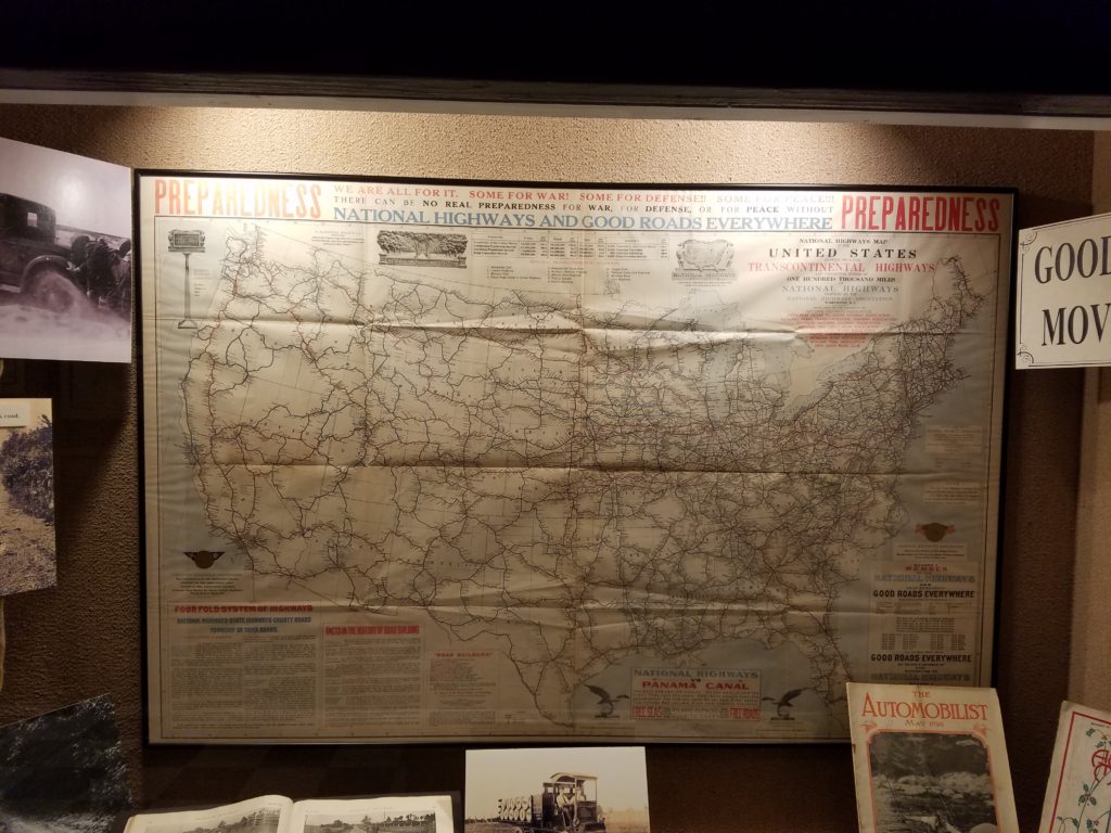
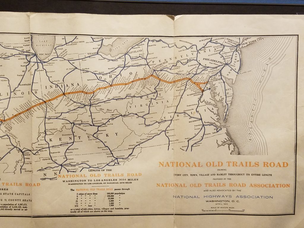


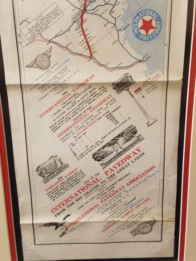
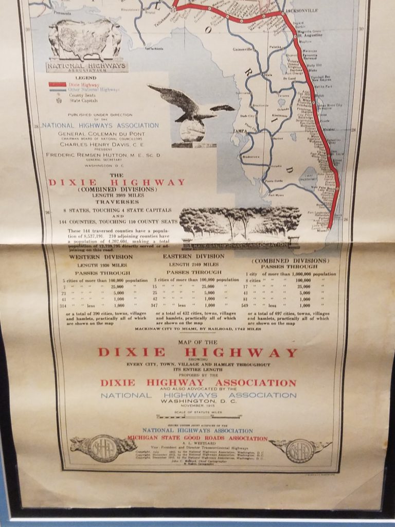
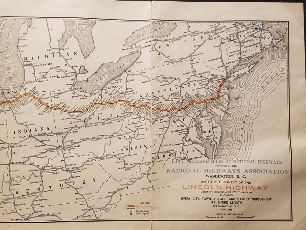
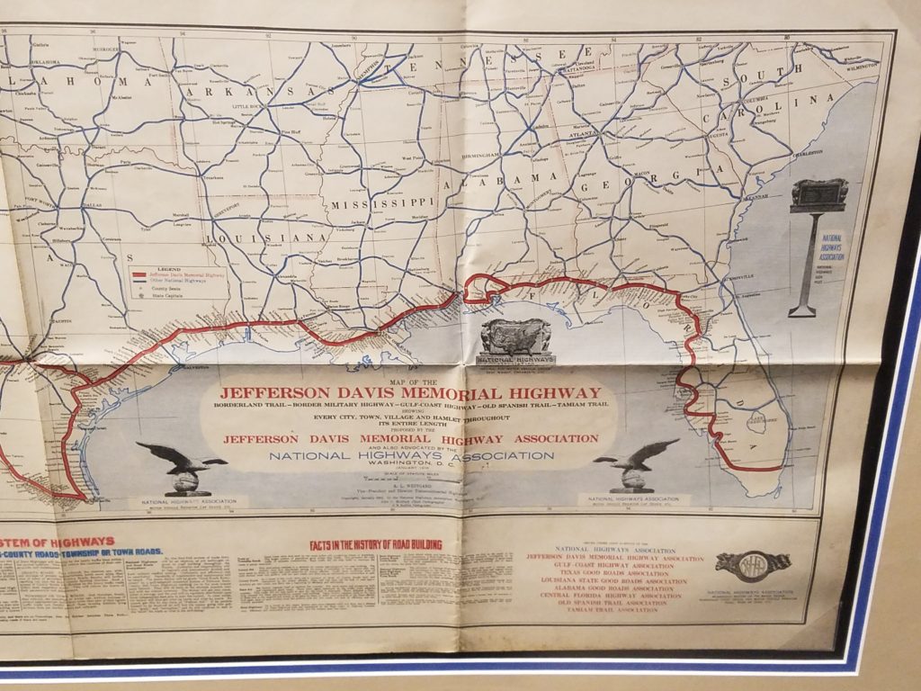
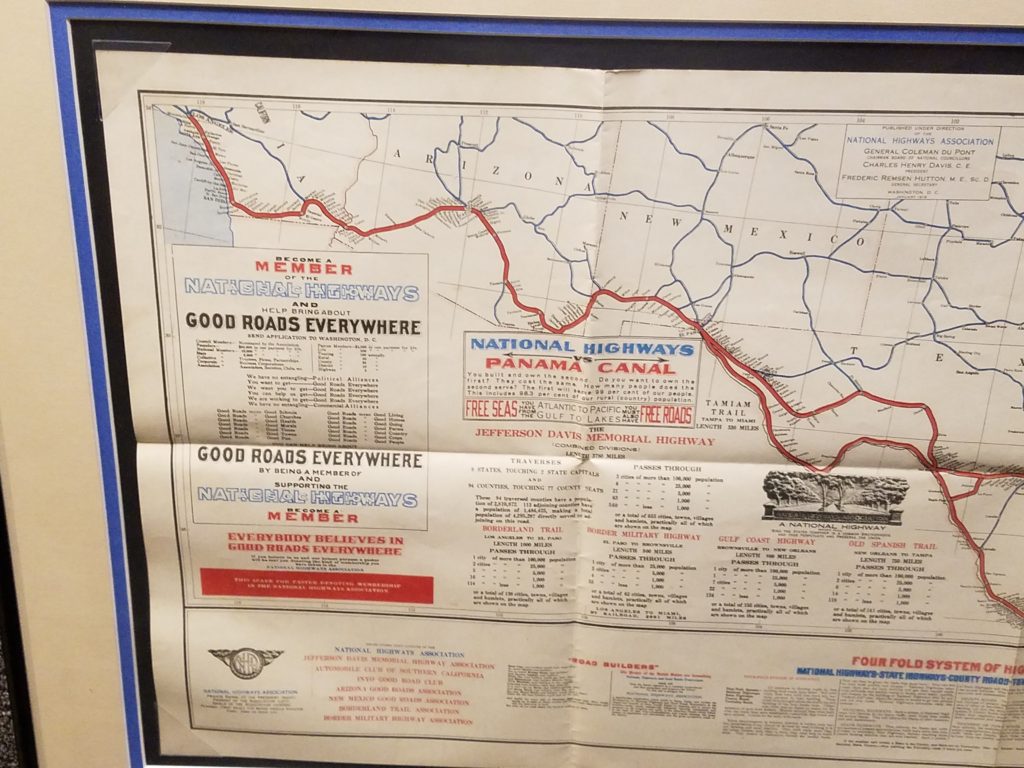
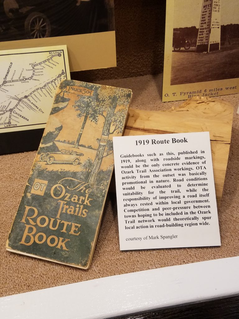
I could have spent all day going over these maps. I wish there was a way to get copies of them. My pictures don’t do them justice.

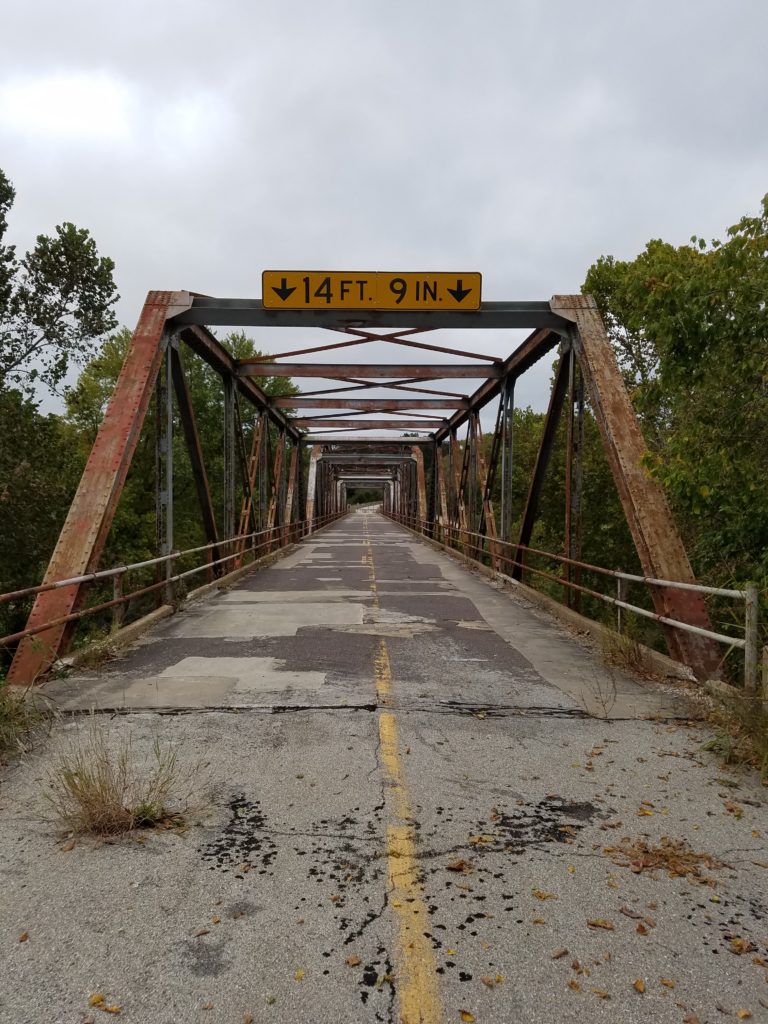
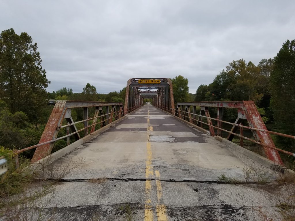
This section of Route 66 is confusing. The signs at one point put me back on Interstate 44. As I drove down the highway I realized it was because this bridge was now closed. I doubled back to take a look.


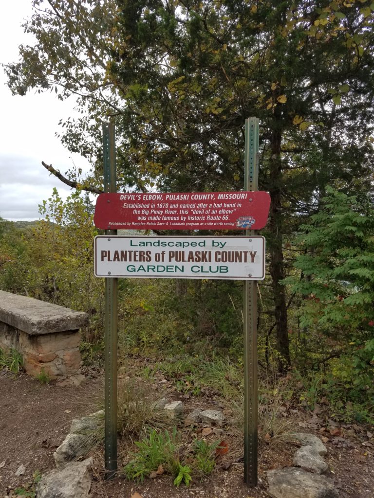
The most fascinating section of highway here was right after I passed Devils Elbow. Here is video of that drive.
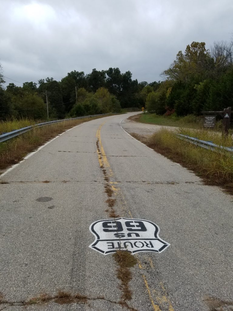
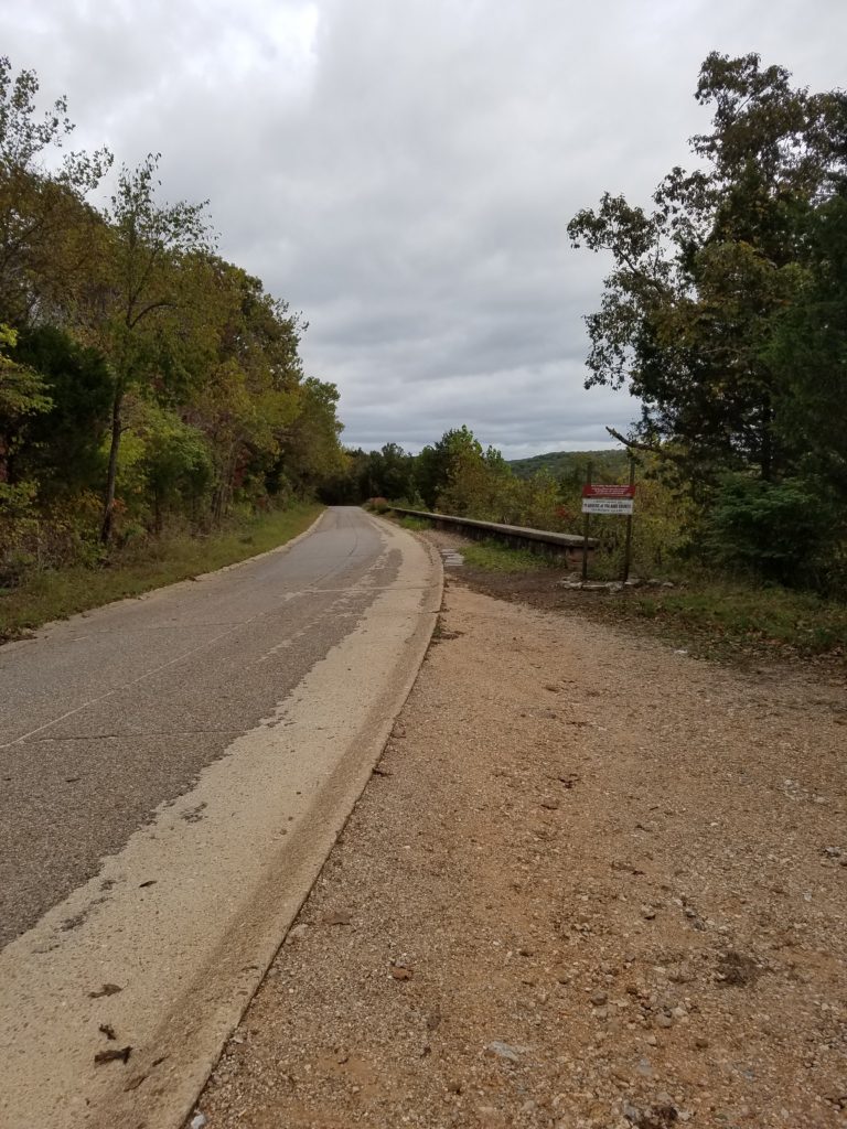
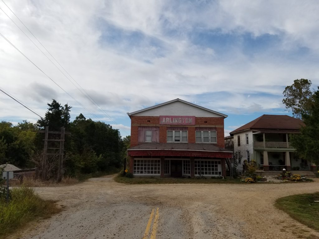
After this the signs didn’t show where Route 66 went. I backtracked onto this section of Arlington Road. This went past an old hotel that had been bypassed by Route 66 and I-44.
I couple of days later I found a post from the Route 66 expert I know that said this section of Route 66 is called the Missouri Maze. I understand now because it took me half a day to drive this section. I ended up crossing off another 100 miles on Route 66. I have now traveled from Santa Monica, California to Rolla, Missouri. About 100 miles of Missouri to go and then Illinois and I’ll be finished. Just doing it in steps now I guess.

The KOA in Lebanon only opened earlier this year. Unfortunately they were unable to fill up my propane tanks. Something they don’t have quite in place yet. Only way to keep warm except to head further south. Which I will be doing soon. This may be the smallest KOA I’ve been at yet.
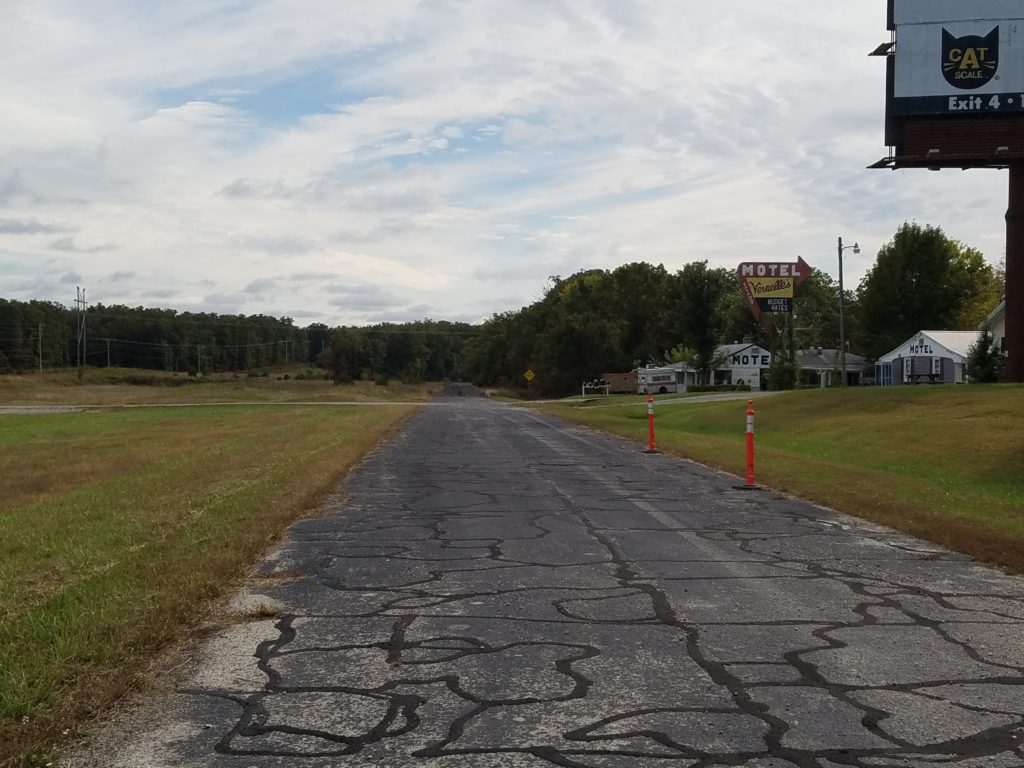
There are at least a dozen RV campgrounds along this section of road near Lebanon. If I was to stay someplace next time it would probably be at Hidden Valley. Very beautiful campground right by the river.